Route 16 Loop From Castell'Azzara
Legend
Note: The routes have been created from a mix of both an online map and also a GPS trail from a garmin watch. The trail may not match exactly to the route on your device so do stay on the marked trail that you find.
Please do give feedback to help improve the trail and trail information for others.
![]() -> un-numbered trail
-> un-numbered trail
![]() -> numbered trail
-> numbered trail
 -> Trail
 -> Light Road / Gravel Track
 -> Waterpoint
 -> Point of Interest
Note: The routes have been created from a mix of both an online map and also a GPS trail from a garmin watch. The trail may not match exactly to the route on your device so do stay on the marked trail that you find.
Please do give feedback to help improve the trail and trail information for others.
Follow The Trail From Your Phone
- You may download this trail and load into your mobile phone to follow the route.
- Note: accuracy of the map may vary from the physical route so stay on the trail if the phone indicates slightly different.
Download KML file here. Known to work on MAPS.ME
Download the GPX file here. Known to work on WIKILOC
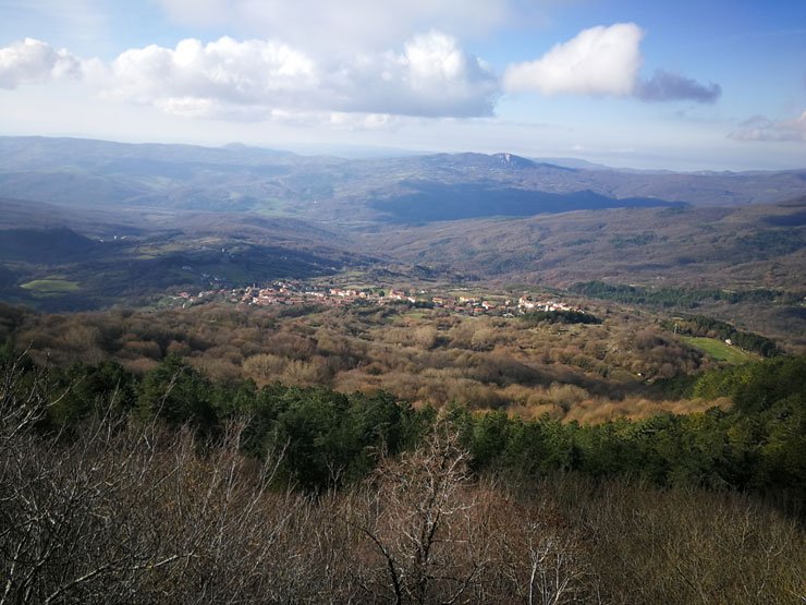
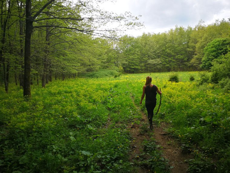
Starting from the Antenna above Castell’Azzara the route proceeds towards ‘The Grotta’ but dips down into Route 16 to lead a path through the forest.
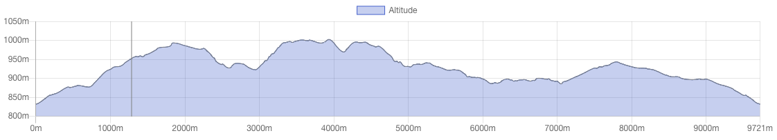
Duration: 2-3 hours
There are 4 spring water outlets along the path.
![]()
![]()
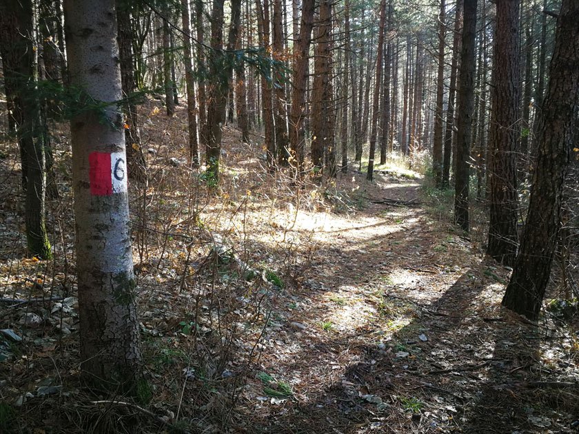
![]() Note: Route 16 also has markers for Route 2 and Route 41
Note: Route 16 also has markers for Route 2 and Route 41
The highlight of this route is the view over Selvena from high up in the hills. A great spot to rest those tired legs.