Castell'Azzara
Riserva Naturale Monte Penna
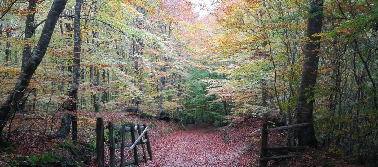
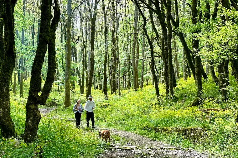
Five trails through old oak and chestnut forest
Marked routes across the mountains that ring Castell’Azzara. Wild boar and roe deer are common; the rare Lanner falcon nests on the cliffs.
5 trails · 5.7–11.8 km
Hiking Trails
Route 16 Loop
9.67 km · 365 m ascent
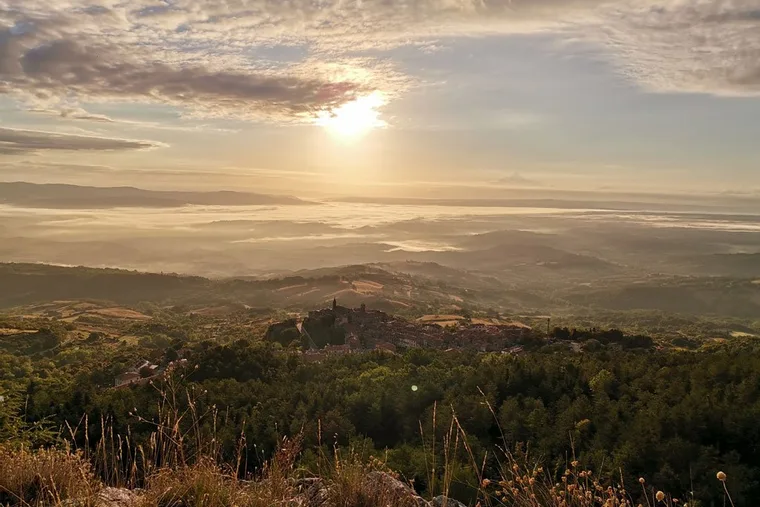
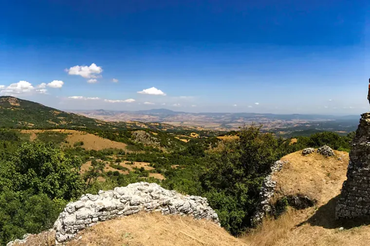
The view over Selvena from high up in the hills. Four spring water outlets along the path. Also marked for Routes 2 and 41.
View trail →
All the trails
The reserve covers the hills immediately above the village — the old oak and chestnut forest the trails run through. The map shows the wider network, not only the five routes above: numbered and unnumbered trails in red, light roads and gravel tracks in brown, and ten water points.
Legend
 -> un-numbered trail -> un-numbered trail |
 -> Trail -> Trail |
 -> Waterpoint -> Waterpoint |
 -> numbered trail -> numbered trail |
 -> Light Road / Gravel Track -> Light Road / Gravel Track |
Live view
Castell’Azzara, looking north-east
A webcam over the rooftops, refreshed every few minutes. Useful before setting out — the weather here can change quickly.
Who you might meet
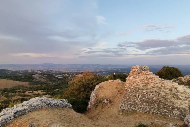
Wild boar (cinghiale), roe deer, porcupine. Above the treeline: the Lanner falcon, often circling the cliffs at Roccaccia.
