The Community Hub
Castell'Azzara
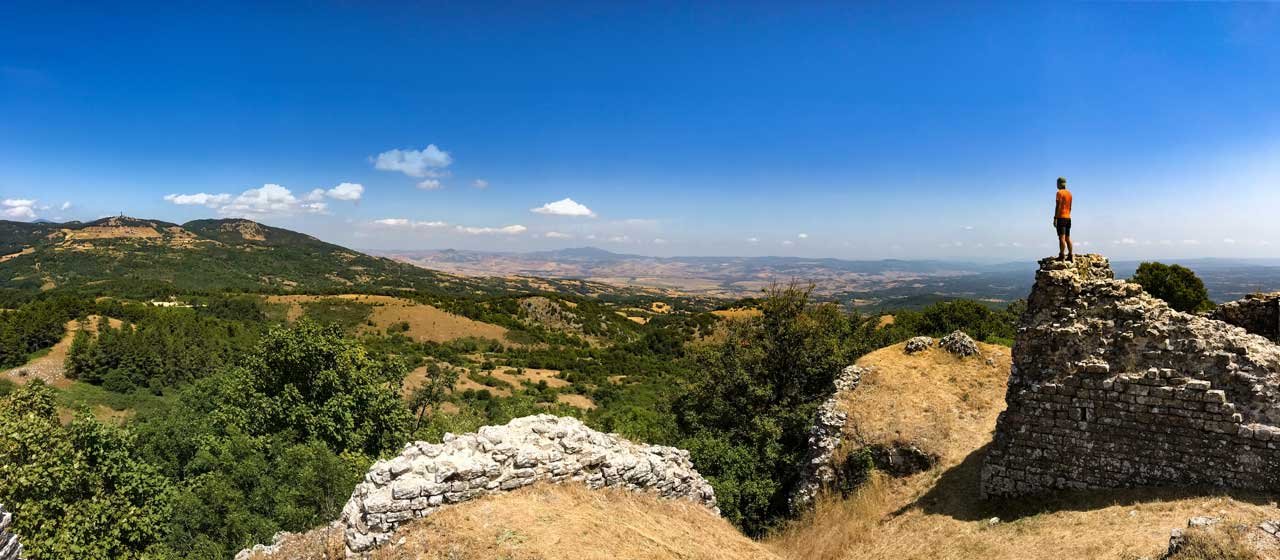
A hike to the ruined rock of Montevitozzo, standing on its ridge above the valley.
The route was drawn from a mix of an online map and a GPS trail from a Garmin watch, so it may not match your device exactly. Stay on the marked trail you find. GPX files work with Wikiloc; KML files work with Maps.me.
Something wrong or out of date? Tell us and we will fix it.

 Unnumbered waymark
 Numbered waymark
 Unmarked trail
 Trail
 Light road or gravel track
 Water point
 Point of interest


